 Dissent at the centre: protest policing in the EU’s capital
  Unpacking the Global Gateway’s Financial Structure: A Critical Look at its Development Logic
  2026 Corporate Sustainability Due Diligence Directive – The amendment process and its impact
  NATO’s Strategic Recalibration in the Cognitive Era
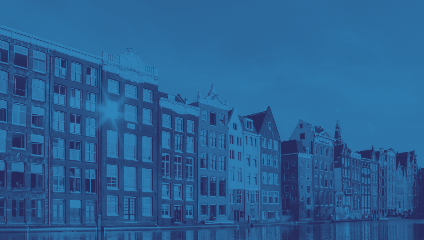
Written by Ignacio Juan Vázquez Carneiro
Sea levels are rising, the ground is sinking and floods have become a constant threat. Scientists stopped wondering about whether the Netherlands would disappear a long time ago – now the question is when. Forecasts are pessimistic, as about one-third of the Netherlands is below sea level. The lowest point is about seven meters below sea level in Nieuwekerk aan den Ijssel, while its highest point is about 322 meters above sea level in Vaalserberg. Nevertheless, the Dutch have managed to fight this phenomenon, turning strips of the sea into fields and living areas thanks to a vast and complex system of dams, storm barriers and gates that have literally allowed them to exist. However, climate change seems to put an end to these preventative measures.
A BRIEF HISTORY
The history of the Netherlands is strongly linked to water. Its distinctive orography has led the country to maintain a love-hate relationship with the sea that surrounds it. Its famous coast, canals, ponds, channels, ditches and rivers have led it to become a reference in matters of agriculture. On the other hand, the overflowing of rivers and the high tides have forced it, since the late Middle Ages, to seek techniques to resist the onslaught of nature.
This strong historical link with water is precisely what has determined the name of this country whose translation is something like “Lowland” or “Low Territory“, since it is located in a region of floodable areas in certain periods and where the sea used to pass. One of the oldest sayings in the country is that “God created the Earth, but the Dutch created the Netherlands”, which is true because going back to the 12th century, we can see how the Dutch developed a system to gain ground on the sea and the lakes, the so-called polder.
The polder consists of a system that isolates portions of water by means of dikes, the drainage of stagnant water and the subsequent drying of the land. These lands are located at or below sea level and have allowed for the sea to retreat for centuries, in addition to allowing for the land to be cultivated. However, problems arose as the land sank to the level of groundwater when compacted. When the water was drained, the land collapsed, causing further flooding which necessitated new drainage. To resolve this, the Dutch created channels with locks near the rivers to carry the surplus water from the polders, although this type of mechanism was only feasible if the river level was low; in case the river level rose too much it would end up flooding the land again. (Fundacion aquae, n. d.)
With the intention of putting an end to the frequent floods, particularly during rainy periods, the polders were surrounded by dikes and channels, preventing floods from ruining the cultivated land. Despite the efforts, it was necessary to further innovate since the system was no longer efficient enough and the land was left swampy. These new challenges implied new techniques, which is why the 15th century saw the beginning of the use of wind drainage.
Mills were placed between the polder and the exit pond to pump the water. This system improved the situation in the countryside but still posed a problem when ponds were filled. Pumping the water from the ponds caused cost-related issues, and financing this technique became a key challenge. Faced with the farmers unable to afford this, they decided to organize themselves into villages where each farmer was responsible for a part of the dam; later each village would have its own management and the water boards, called Waterschappen, emerged. (Koohafkan, 2010)
The Waterschappen is the oldest form of governance in the Netherlands, consisting of government agencies responsible for managing water barriers, waterways, wastewater treatment and water quality control among other functions. Regions that invested in this type of organization became richer and improved their position. Regions that opted for hybrid management ended up generating constant tensions between local organizations and the Waterschappen. A flood in 1675 demonstrated the inconsistency of this division (Koohafkan, 2010), causing the Dutch government to take action and start coordinating projects, as well as reserving the right to break dikes.
It was after the government began to fully control the Waterschappen, initially intended to prevent flooding, that they were used as the main element of defense. During periods of war, the land was deliberately flooded; a layer of water of about 40cm was enough, thus hindering the enemies (Vellón, 2020). It was a perfect system, as it made it difficult for soldiers or vehicles to move around, while not allowing the water to be deep enough to be navigable.
QUALITATIVE JUMP
As we have seen, since the Middle Ages the Dutch have been gaining ground on the sea. The mills are today one of the most characteristic elements of the Dutch landscape and a symbol of the country’s continued struggle with water. Additionally, the Netherlands currently has more than 3,000 polders, which continue to evolve and are a key element in continuing to expand the territory.
The Netherlands is struggling to control the fury of the sea, which is why almost 30% of national GDP is spent on improving infrastructure. The extensive system of dykes and engineering works seeks to protect the polders from any eventuality. The constant need to innovate, build new infrastructure and invest in new technologies is a response to the disasters they had to face in the past. Between 1927 and 1933, the 32-kilometer-long Afsluitdijk dam was built in response to the storms that constantly flooded the region (Stańczuk-Gałwiaczek et al., 2018). Today the dam not only protects the Netherlands from flooding but also serves as a freeway.
In 1953 the country suffered one of its biggest catastrophes. A powerful storm caused an unprecedented tide that led to rises in sea levels, the death of more than 1,800 people, the evacuation of around 70,000 people and flooding of 8% of the country. The 1953 tragedy motivated the development of the Delta Plan, one of the most ambitious water management projects in the world, considered to be one of the seven wonders of the modern world by the American Society of Civil Engineers (Europa Press, 2018).
The Delta Project aimed to control the area where the mouths of the Rhine and Meuse rivers break into a delta (d’Angremond, 2003). The combination of dikes, dams, hydraulic gates and locks succeeded in regulating water exchanges between the North Sea and the Eastern Scheldt, Grevelingen and Haringvliet canals and rivers, the latter being the only one that became a freshwater lake; the two remaining ones maintained their brackish habitats. This colossal project included the construction of the Schelde East Barrier, a barrier with two miles of safety gates hung between concrete pillars that only close when a storm is approaching.
In addition, the project took into account maritime access to different seaports. During the 1990s, the government built mobile structures to protect Rotterdam from flooding. They function as gates that remain open to facilitate the transit of ships and, in case of a storm warning, are able to close in less than two hours. For the time being, it has only been necessary to close them once, in 2007.
The Delta Project is the culmination of 4.5 billion euros of investment and 40 years of work. Not only has it been truly effective in reducing the risk of flooding and ensuring freshwater supply, but the side effects have translated into improvements to the region’s socio-economic development as well as boosting tourism (Haasnoot & Middelkoop, 2012). The project has also become a symbol that recalls the disaster and pain of the 1953 floods without which hydraulic engineering and dredging would not have advanced so diligently. Furthermore, it made the Dutch authorities aware of the urgent need to develop mechanisms to detect possible natural phenomena that could put the lives of the population at risk (d’Angremond, 2003).
CLIMATE CHANGE CHANGES EVERYTHING
Shaping an urban and water management plan in a sinking country is a highly complex challenge in and of itself. Climate change makes this task even more difficult. The latest special report issued by the Intergovernmental Panel on Climate Change (IPCC) states that whether or not global warming emissions are reduced, extreme sea-level events will become increasingly frequent by 2050.
The report warns that by 2100, within a scenario of high emissions, sea levels may rise by about 1.1 meters in vulnerable areas. The rise in sea level as a result of the melting of the poles has become an irreparable process that increases the risk of flooding and erosion, as well as hindering access to drinking water.
It is estimated that the Delta Plan is prepared to withstand the onslaught of climate change 200 years from now if the sea level were to rise by 5 millimeters per year. But even this type of strategy may be out of place given the high level of uncertainty surrounding sea-level rise forecasts. Since the project was proposed, the population has been increasing and extreme weather events are occurring more frequently, so as time goes by the number of potentially affected people will grow as they are at risk of ending up underwater, since it is estimated that 60% of the country is at risk. (Haasnoot & Middelkoop, 2012)
An example of the pessimistic scenario that has begun to take shape is found in the Dutch region of Noordwaard, an area of about 4450 hectares protected by a dam where farmers tilled their land, cattle grazed freely and farms fed the region. This idyllic Dutch postcard was buried by the North Sea, leaving a desolated landscape of mud and swamps, relegating it to almost complete oblivion (Stańczuk-Gałwiaczek et al., 2018).
It is true that the elimination of Noordwaard was part of the Ruimte voor de Rivier program, a plan to sink the polders built centuries ago and open the barriers to let the water through by giving more space to the Rhine, Meuse and Ijssel rivers, thus facilitating flood management and avoiding floods that could be disastrous for other cities.
Ruimte voor de Rivier or Room for the River is another program launched by the Dutch government to adapt to the effects of climate change. The program seeks to return the land that was won from the sea by establishing an open area to the high waters. In this way, it aims to prevent flooding and keep nearby cities dry, even though this has required the demolition of a large number of homes and farms (Stańczuk-Gałwiaczek et al., 2018).
THE WILL IN THE FACE OF PESSIMISM
On a political level, the Supreme Court of the Netherlands ordered the Dutch government to reduce greenhouse gas emissions by 25% compared to 1990 levels. This decision followed a lawsuit filed by a group of Dutch citizens together with the Urgenda Foundation in 2013, in which they denounced the country’s high emissions and the government’s inaction, which they argued was failing in its duty to protect Dutch citizens against the imminent danger of climate change. (Schwartz, 2019)
This lawsuit emphasised the issue surrounding state obligations to pursue reductions in greenhouse gas emissions than the limits already set in Dutch climate policy. As Urgenda pointed out: Articles 2 and 8 of the European Convention on Human Rights, Article 21 of the Dutch Constitution and the general duty of care in the Dutch civil code corroborate that the state has a duty to act. Although the Court of First Instance in The Hague dismissed the validity of invoking these conventions in this specific case, it ruled that the State breached its duty to take precautionary and mitigating measures in a situation qualified as dangerous. (Schwartz, 2019)
The Netherlands government appealed the decision in October 2018 when the court declared that the government was “acting unlawfully” by not taking stronger measures to reduce emissions. The Supreme Court decision forced the Dutch government to take stronger measures, even though it had already committed to reduce emissions. These measures include a shutdown of power stations.
The Dutch work against time and know that adaptation measures will not be enough. According to the Environmental Assessment Agency and scientists at the Centre for Geodesy and Geoinformatics (NCG) in the Netherlands, the soil will sink more than 50 cm in the next five decades. Rising temperatures by 2°C, along with increasingly hot summers, have reduced groundwater levels by draining the soil and accelerating soil sinking, causing major cracks in some homes.
Many measures have been put in place, but experts are pessimistic, and some voices are betting on starting to plan a controlled withdrawal. Certainly, the Netherlands are facing an unprecedented problem, climate change threatens its existence and the only way to achieve real change would be to join forces to fight climate change from the root, this would mean a global reduction of CO2 emissions among other things. It will be necessary to promote concrete plans at a global level that regulate the use of energy, transport and a restructuring in the mode of production and consumption of food. (IPCC, 2019)
The fight against climate change must consider both mitigation and adaptation. In the long term, continuing to focus on adaptation will be unsustainable because, as sea levels rise, it will be increasingly necessary to mobilize more resources. Since 2019, Rotterdam has been home to the world’s first fully functioning floating farm. This type of initiative can bring relief in dealing with climate change, but we must not stop focusing on the root of the problem.
For the time being, the Dutch government seems to be failing to meet the 14% target for consumption of renewable sources required by the European Union by 2020, and has not managed to achieve the 25% reduction in greenhouse gas emissions compared to 1990, as stipulated in the UN Climate Convention and the European Convention on Human Rights (Alcalde, 2020). The challenge, therefore, is twofold: on the one hand, to continue adapting infrastructure in the face of the inevitable rise in sea level, and on the other hand, to try to dominate the environment.
Bibliography
– Alcalde, S. (2020, 5 marzo). Urgenda, la ONG que ha forzado a los Países Bajos a reducir la contaminación por ley. www.nationalgeographic.com.es.https://www.nationalgeographic.com.es/mundo-ng/urgenda-ong-que-ha-forzado-a- paises-bajos-a-reducir-contaminacion-por-ley_15169
– d’Angremond, K. (2003, mayo). From disaster to Delta Project: The storm flood of 1953. Terra et Aqua.https://www.researchgate.net/publication/293524411_From_disaster_to_Delta_Project_ The_storm_flood_of_1953
– Editors Holland. (2020, 29 octubre). The windmills of Kinderdijk. Holland.com.https://www.holland.com/global/tourism/destinations/provinces/south-holland/the- windmills-of-kinderdijk.htm
– Europa Press. (2018, 13 octubre). Las 7 maravillas de la ingeniería civil moderna que desafiaron a la naturaleza y siguen impactando hoy. europapress.es.https://www.europapress.es/sociedad/noticia-maravillas-ingenieria-civil-moderna- desafiaron-naturaleza-siguen-impactando-hoy-20181013181620.html
– Fundacion aquae. (s. f.). Pólderes: tierras conquistadas al mar.https://www.fundacionaquae.org/wiki-explora/05_polder/index.html
– Haasnoot, M., & Middelkoop, H. (2012, 1 mayo). A history of futures: A review of scenario use in water policy studies in the Netherlands. ScienceDirect.https://www.sciencedirect.com/science/article/pii/S1462901112000391
– IPCC, 2019: Summary for Policymakers. In: IPCC Special Report on the Ocean and Cryosphere in a Changing Climate [H.-O. Pörtner, D.C. Roberts, V. Masson-Delmotte, P. Zhai, M. Tignor, E. Poloczanska, K. Mintenbeck, A. Alegría, M. Nicolai, A. Okem, J. Petzold, B. Rama, N.M. Weyer (eds.)]. In press.
– Koohafkan, P. (2010). The remarkable history of polder systems in The Netherlands | FAO. Food and Agriculture Organization of the United Nations (FAO).http://www.fao.org/family-farming/detail/en/c/283291/
– Schwartz, J. (2019, 21 diciembre). In ‘Strongest’ Climate Ruling Yet, Dutch Court Orders Leaders to Take Action. The New York Times. https://www.nytimes.com/2019/12/20/climate/netherlands-climate-lawsuit.html
– Stańczuk-Gałwiaczek, M., Sobolewska-Mikulska, K., Ritzema, H., & M. van Loon- Steensma, J. (2018, 1 septiembre). Integration of water management and land consolidation in rural areas to adapt to climate change: Experiences from Poland and the Netherlands. ScienceDirect.https://www.sciencedirect.com/science/article/abs/pii/S0264837718303867
– Vellón, L. (2020, 25 junio). La lucha de Países Bajos contra la subida del nivel del mar. El Orden Mundial – EOM. https://elordenmundial.com/paises-bajos-nivel-mar-cambio- climatico/
– Zandbelt, D. (2020, 16 diciembre). Dutch designed ‘soft power’ | Journal of Delta Urbanism. Journal of Delta Urbanism.https://journals.open.tudelft.nl/jdu/article/view/5459